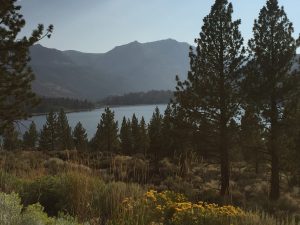
Lost Coast Hike… Jonesin for a Ride???
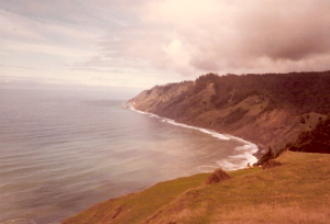
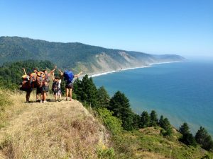
WTF, this isn’t a ride… Yup getting older and I’m confused. Why on earth do this? I use to be an avid camper, but just car/motorcycled camp. Never was interested in hikes into the back country carry all that gear you needed on your back, but was curious about it. Call it a bucket list item, but when I heard some co-workers doing this 4 day, 26 mile hike along the northern section of California’s Lost Cost from Mattole Point to Shelter Cover, I decided to try this type of hiking once.
The Lost Coast of California is a unique area. I only heard about it only recently even though I have traveled quite a bite of the state over the last 35 years. It is a section of coast undeveloped and a National Conservation Area which is only accessible by car to one small town in the middle (Shelter Cove, by foot, or a network of old logging roads. Two years ago Dean Tanji and I attempted to ride some of the logging roads only to turn back after awhile as it was early in the season the the roads were still slick with mud.
This time it will be on foot, along the remote rugged shoreline with two four mile stretches which you must time during low tide, as they are impassable during high tide. Click here for more info on the trail, or here for more general information.
You can also track us here live on my MapShare page (as I will be using my inReach device) or Spotwalla page. Our hike will start Monday morning June 4th and end Thursday late morning/early afternoon June 7th – if it goes as planned 🙂
Sturgis Bound Again….
Or maybe not…
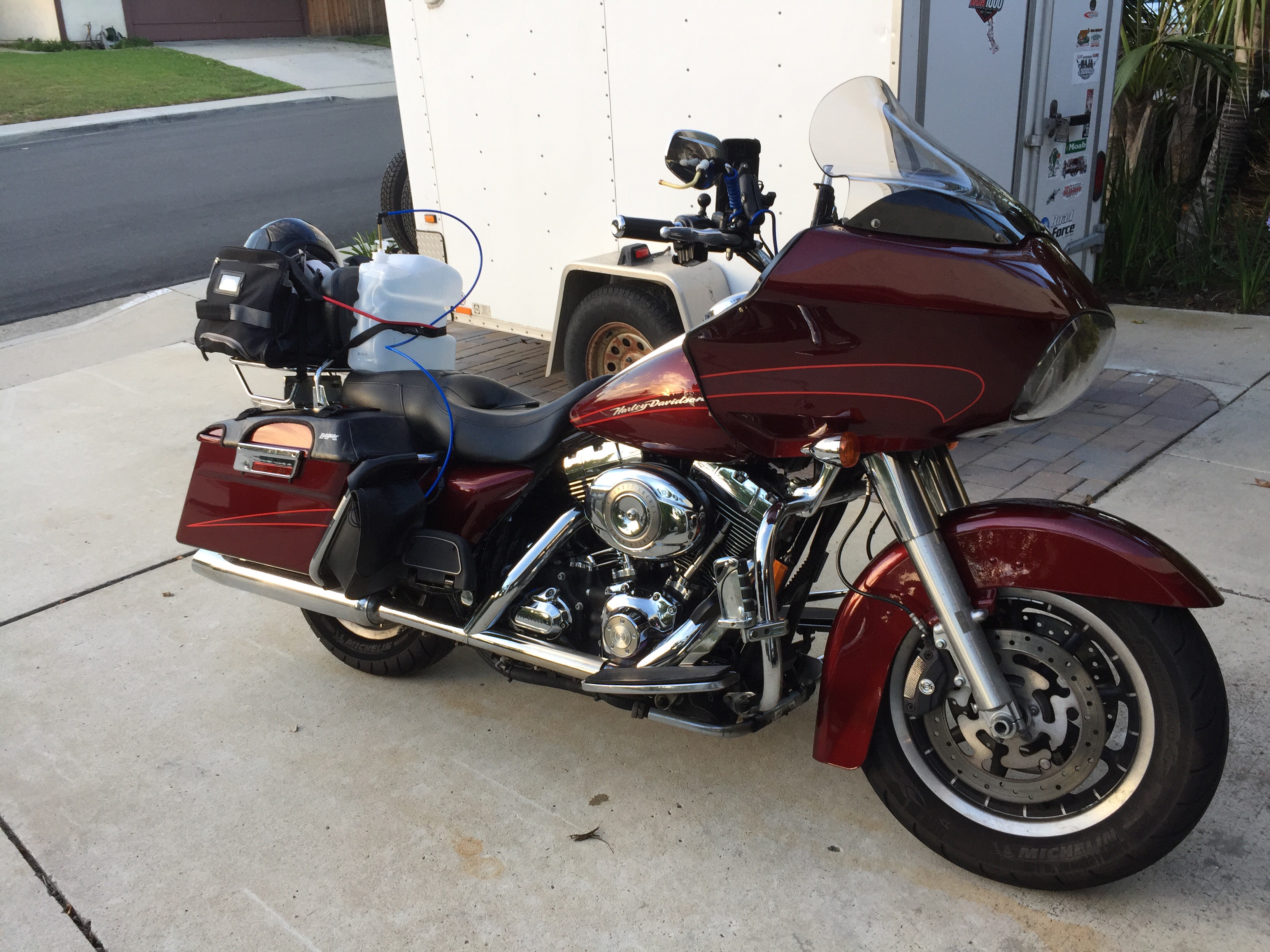
This year I’m riding with Ricky racer, I know him from Big Steve’s shop from seeing him work on his bike modifying it, but have not ridden with him yet, so we will both get to know each other better over the course of this trip.
We do have reservations but can cancel or alter the stay up to 24 hrs of our planned arrival. Unusual for me and this event.
As usual, monsoonal weather time out here and it is hot and humid with good chance of rain today. Plan is to leave early and get to Las Vegas by 1pm before the afternoon storms. Fingers crossed as you never know this time of year.
Rick sounds easy going so who knows where we might end up as we will wing it till our return home.
But One More Pass……
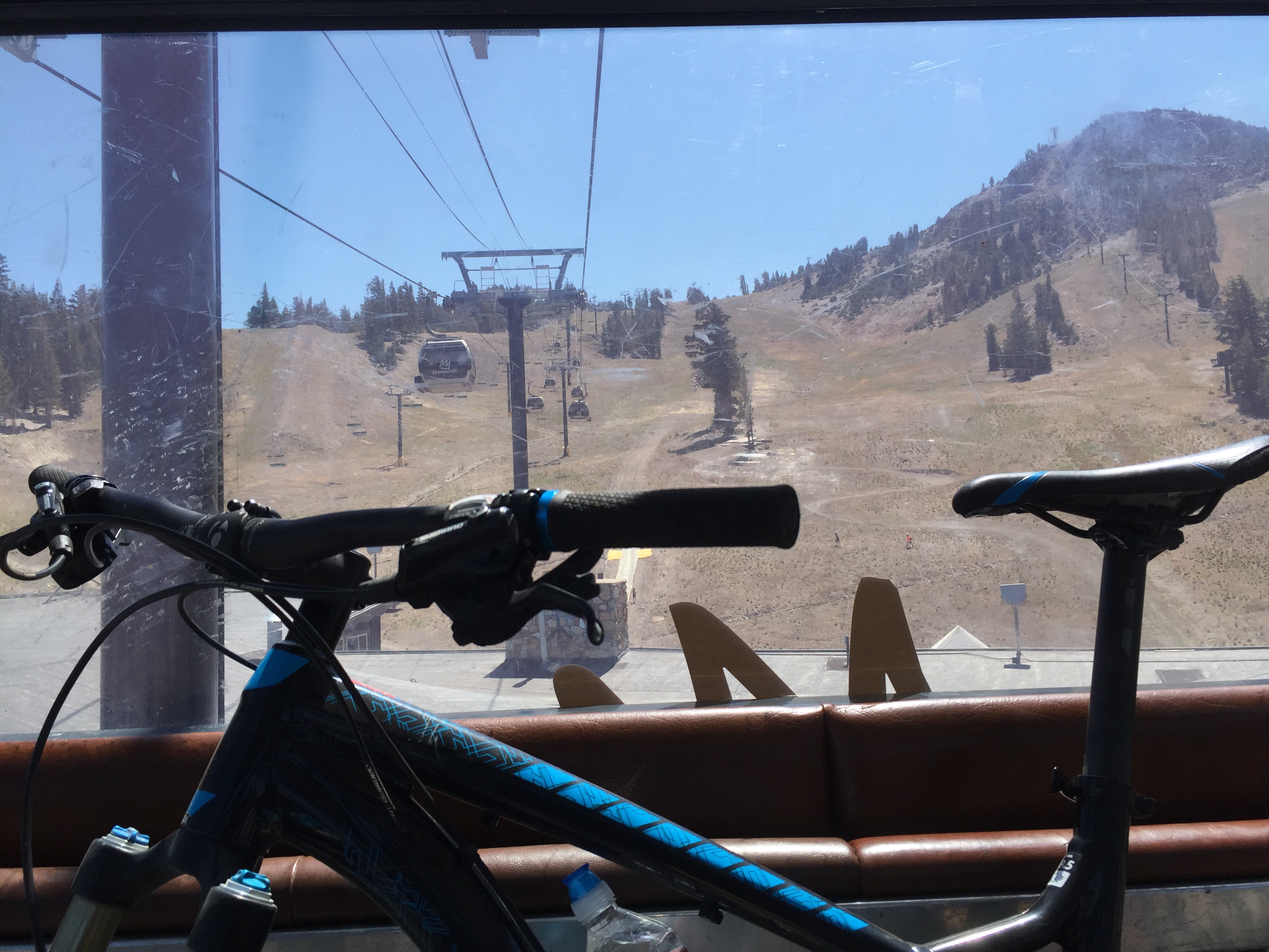
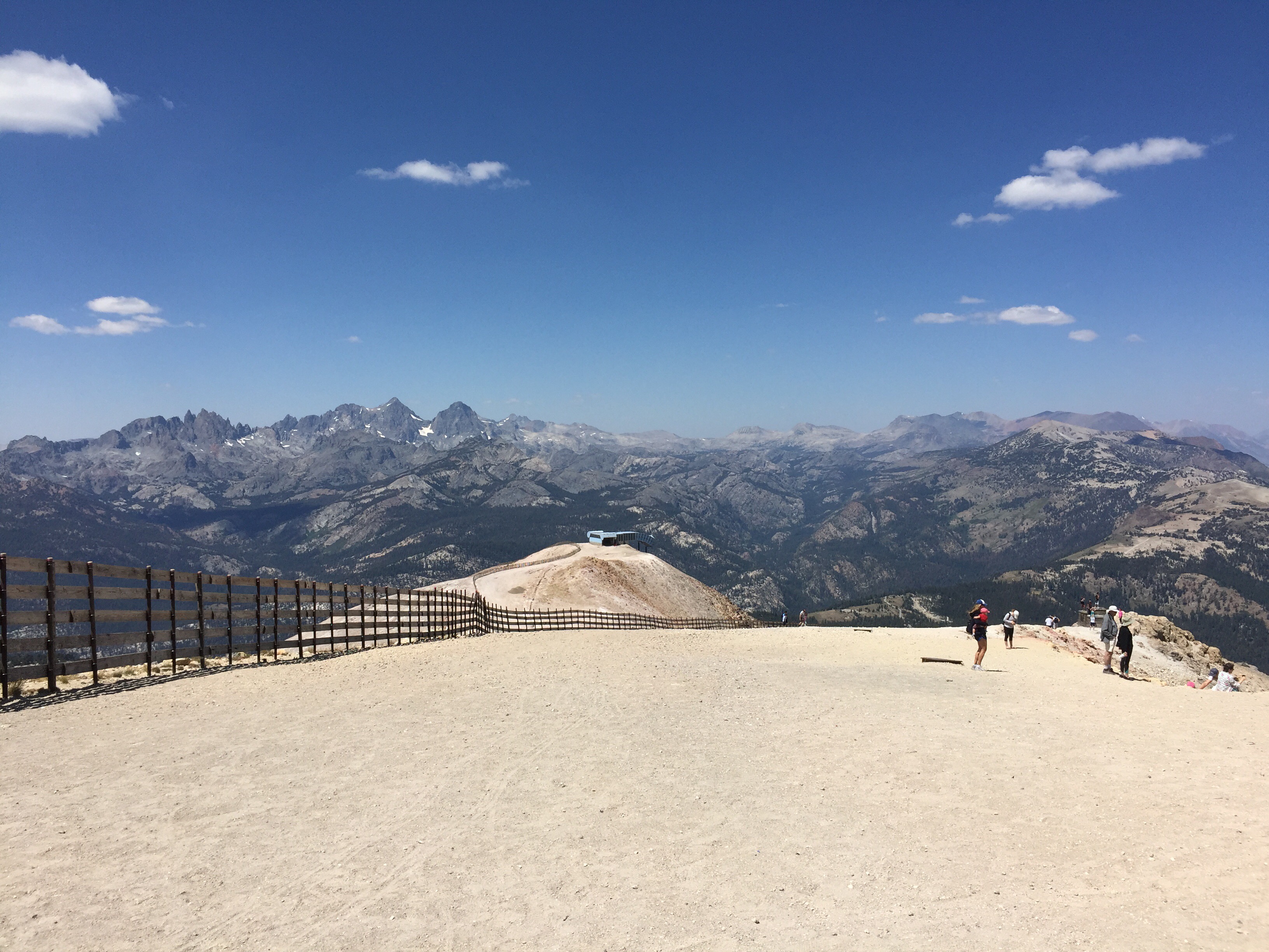
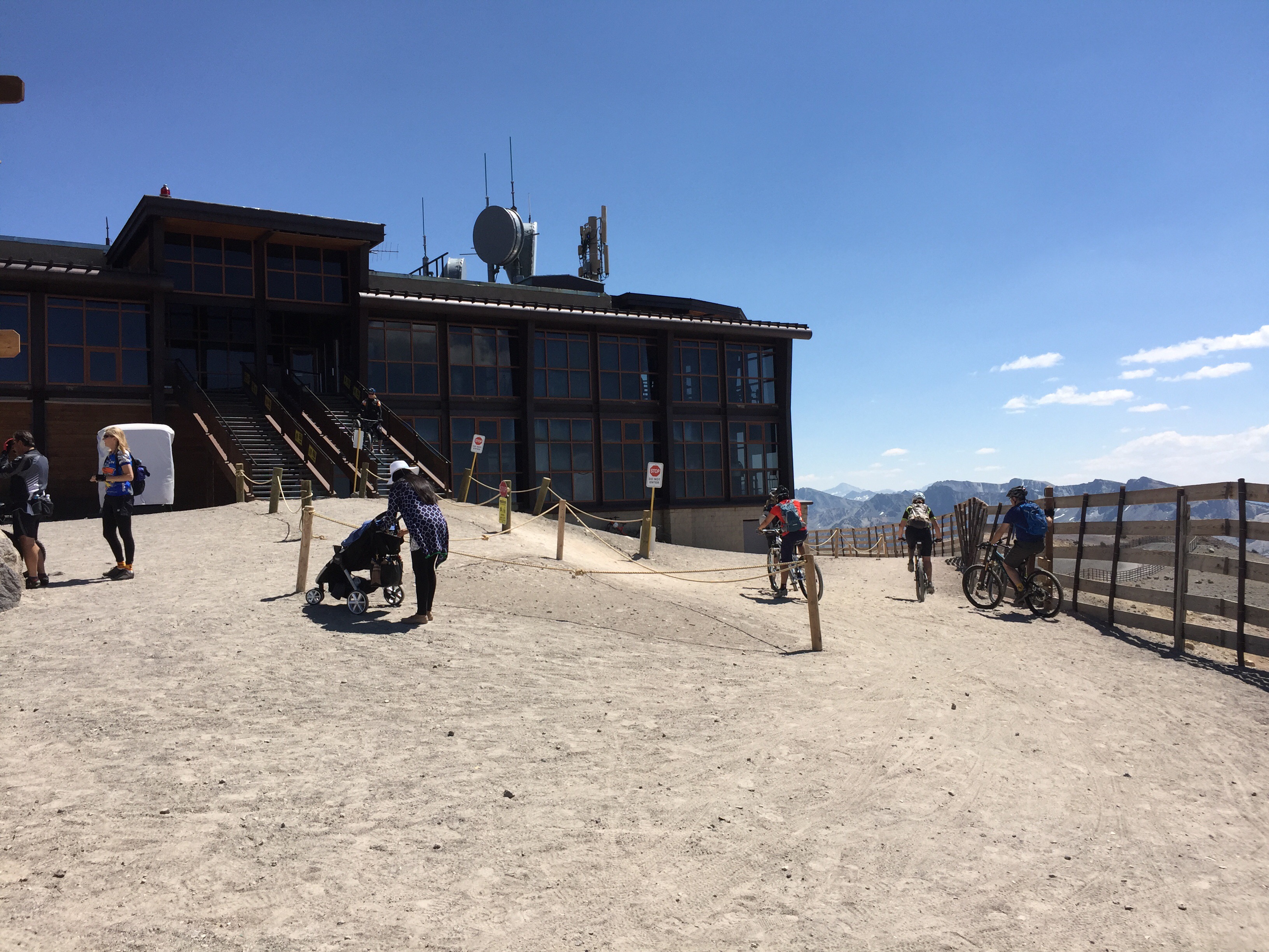
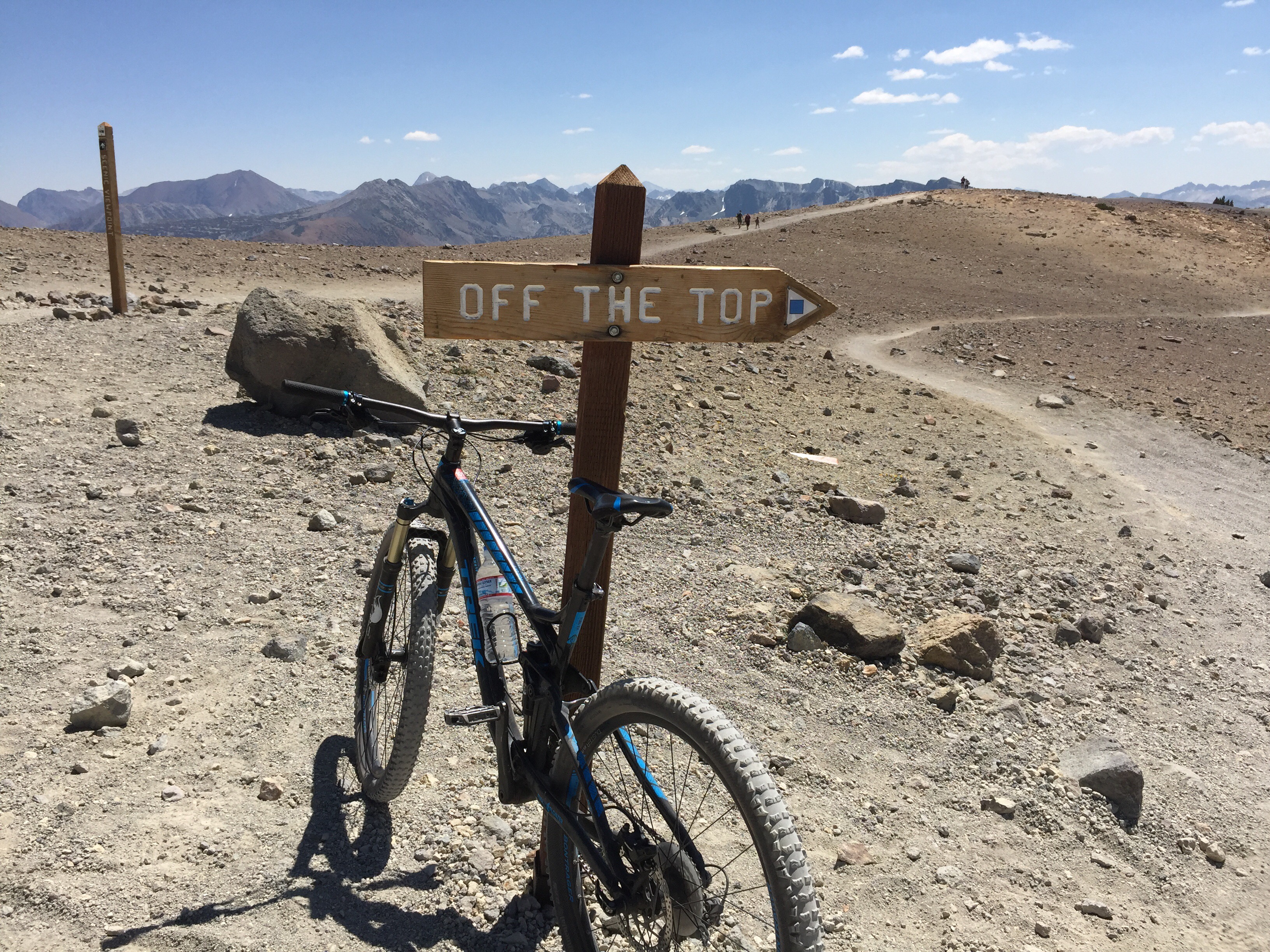
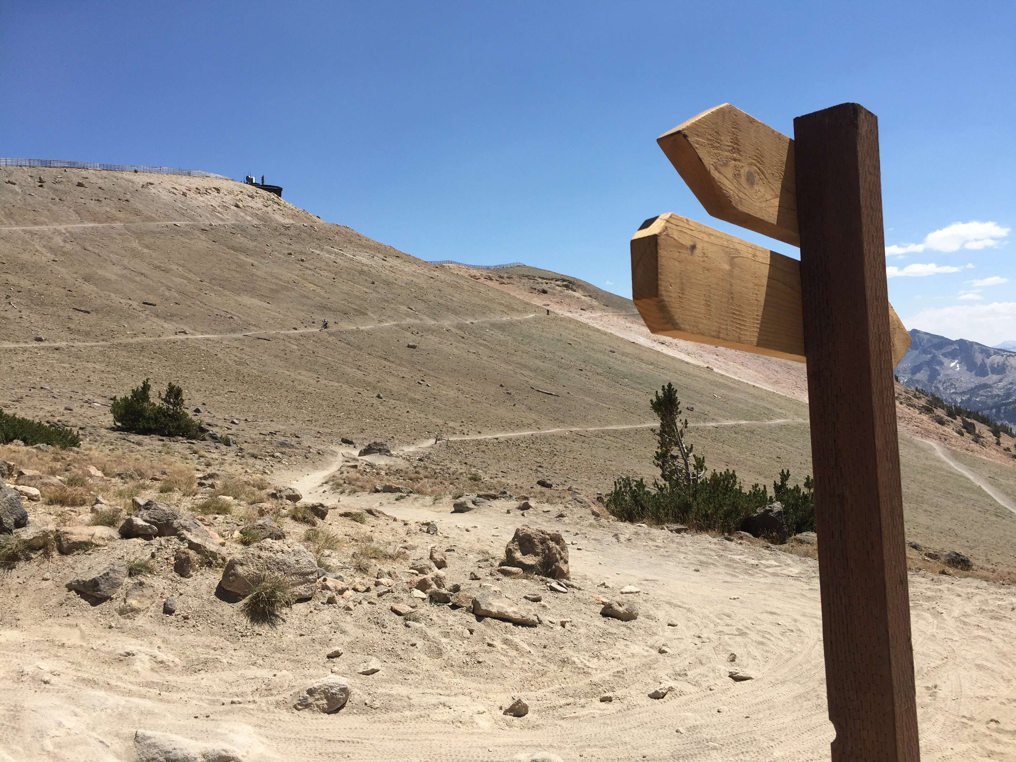
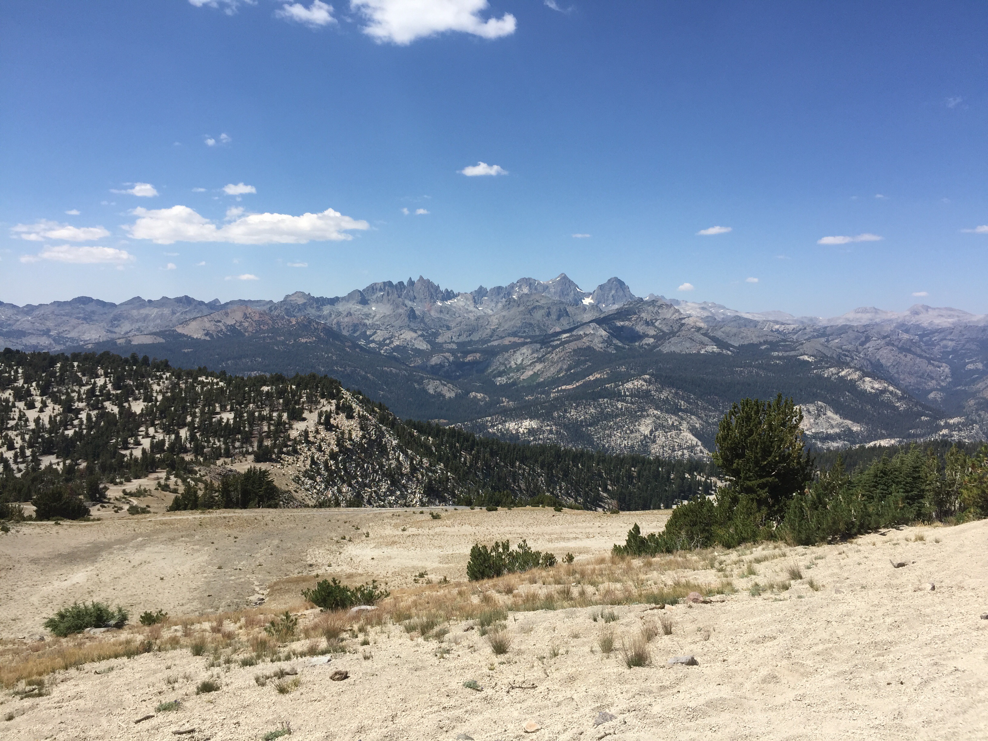
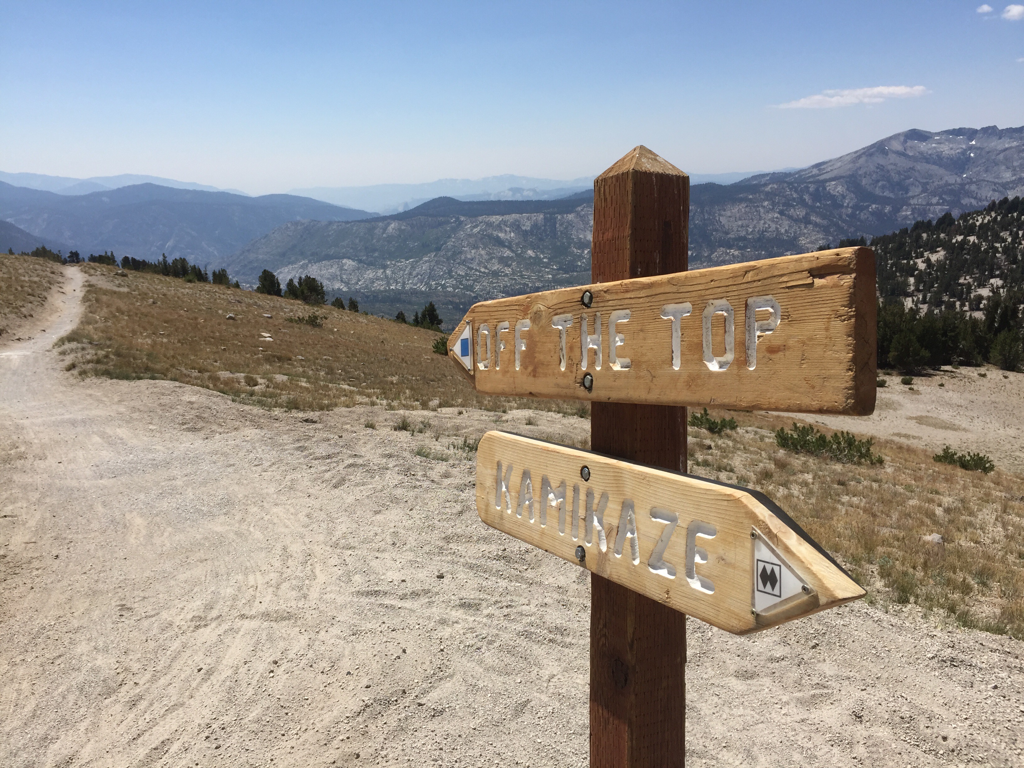
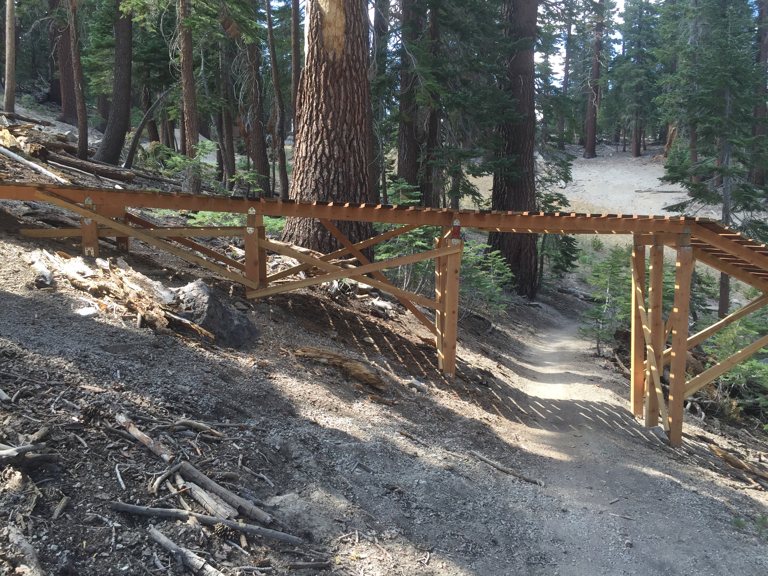
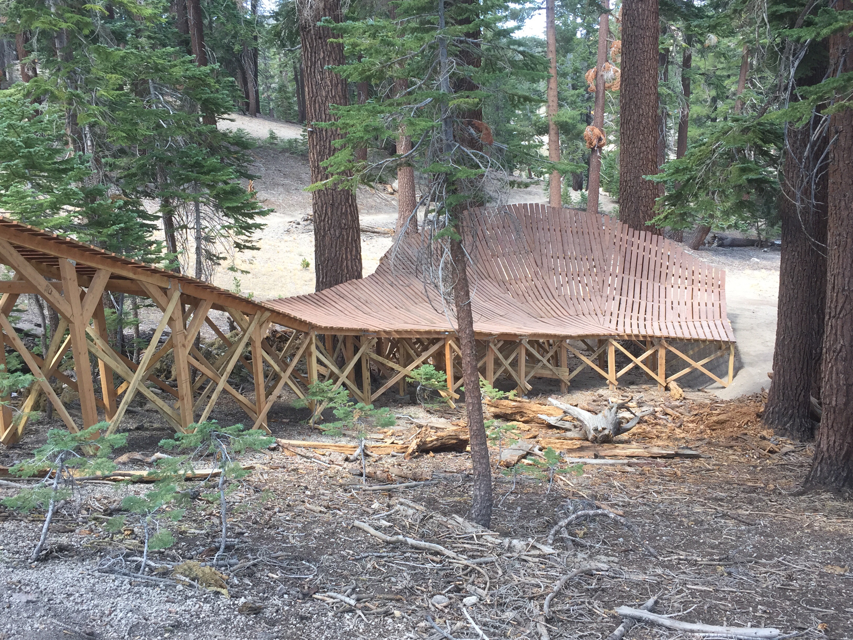
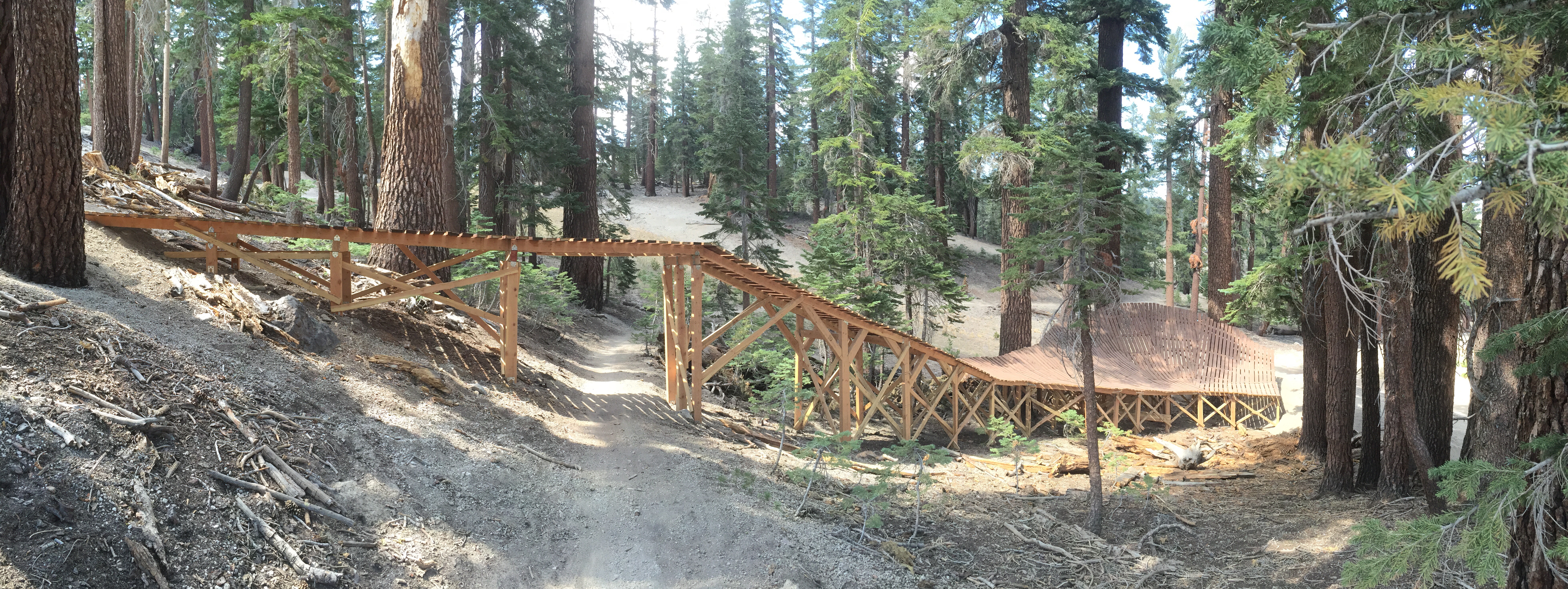
In Mammoth with the gang, and one more opportunity to do a pass with a mountain bike. But, this was done the easy way with a ski lift…
Over 11,000 feet at the top, the views are spectacular.
Saved the best for last- Sonora and Tioga
After a great dinner and drinks at Larry’s, Thursday morning started off crystal clear and cool – beautiful!
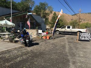
Let Larry’s just before 8 a.m. and headed south on US 395 to 108…. but first a cup of coffee in Walker.
(note – click on the pictures if you want to see full size – some are panos)
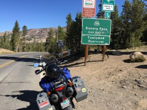
After a cup of Joe, 15 minutes I was at the start of 108 and the start of the Sonora pass from the eastern side of the Sierras.
After about 45 minutes of riding, and some 26% grades, I was at the top of the pass. I forgot how pretty this pass is.
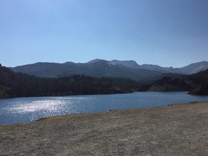
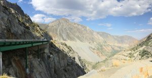
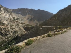
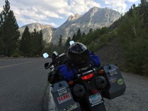
These photos can not do any of the views and justice. I wish there was a way to get the feeling across on screen. Feeling the crisp morning air and grand vistas around the next corner is just something you need to experience.
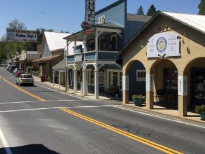
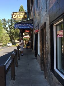
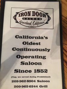
The road gradually gets lower in elevation as we proceed west and after 60 miles, it was time to stop and take the jacket off. Short while later I wass heading south again on 49 to head to 120, the northwest entrance to Yosemite and the Tioga pass. After a quick twisty climb from 49 I was in the town of Groveland – had to stop and check out the bar and grill.
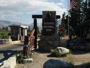
After lunch, back heading east on 120 to Yosemite N.P. and Tioga Pass.
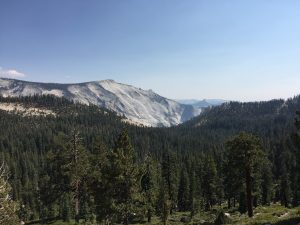
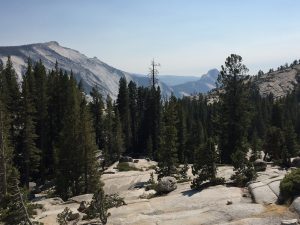
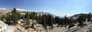
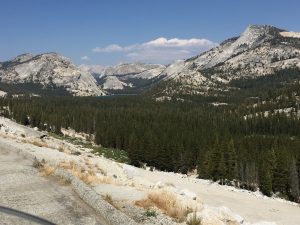
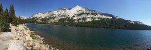
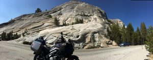
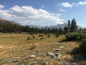
The road going to Tioga has plenty of outstanding vista to stop at – there is a reason so many visitors come to this park as it is truly beautiful.
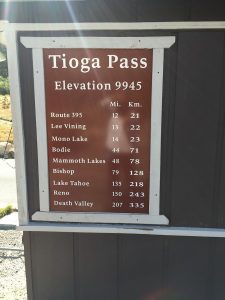
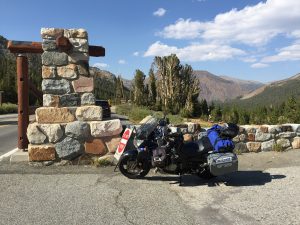
Finally got to the pass. The highest one on this trip.
The ride east down this pass is one of the best I have ever been one – just love it. The pure scope of the mountains come to life as you descend downward – it is so vast.
Use your mouse to spin these photos-trying something new
Then I was back on 395, heading south towards Mammoth – but first a loop through June Lake.
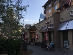
Finally in Mammoth at the Village area at 5:30 p.m. – time to hook up with my friends who arrived about and hour and a half ago. More tomorrow – I’m tired…
